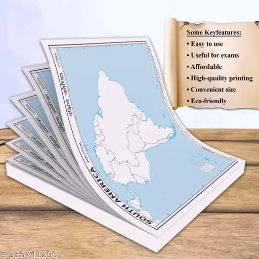
100 SOUTH AMERICA POLITICAL OUTLINE MAP FOR SCHOOL
100 SOUTH AMERICA POLITICAL OUTLINE MAP FOR SCHOOL
Couldn't load pickup availability
Name : SMALL - 100 SOUTH AMERICA POLITICAL OUTLINE MAP FOR SCHOOL|Interactive South America political outline map for students.
Type : Activity Centres
Recommended Age : 12 years & more
Net Quantity (N) : 1
Payment : PRE-PAID
"The SMALL - 100 SOUTH AMERICA POLITICAL OUTLINE MAP FOR SCHOOL is a detailed and informative map focusing on South America's political aspects. Its size is 7*8 inch, and it has perforated edges. It provides an outline representation of the continent, clearly highlighting the countries and their political boundaries. This map is specifically designed for educational purposes in schools, allowing students to explore and understand the political divisions of South America.
With its compact size, the map is suitable for classroom use and offers a wealth of information at a glance. The map encourages interactive learning as students can in activities such as labelling countries, identifying neighbouring nations.
By using the SMALL - 100 SOUTH AMERICA POLITICAL OUTLINE MAP FOR SCHOOL, students can develop their knowledge and understanding of the political landscape of South America.
This map is a valuable resource for social studies and geography lessons. It supports teachers in delivering comprehensive lessons on South America's political aspects. Moreover, it facilitates independent research and allows students to deepen their understanding of South America's specific countries.
The SMALL - 100 SOUTH AMERICA POLITICAL OUTLINE MAP FOR SCHOOL is a valuable educational tool that students in comprehending the political divisions and complexities of South America.
Share


